
KIM Mooring CTD data @ 65m
Dataset extent
Map data © OpenStreetMap contributors
Tiles by MapBox
Tags
Data and Resources
To access the resources you must log in
-
Landing page
Metadata landing page
The resource: 'Landing page' is not accessible as guest user. You must login to access it! -
OPeNDAP URLHTML
Link to OPeNDAP URL
The resource: 'OPeNDAP URL' is not accessible as guest user. You must login to access it! -
Download NetCDF files
Download a NetCDF version
The resource: 'Download NetCDF files' is not accessible as guest user. You must login to access it! -
Digital Object Identifier (DOI)
The resource: 'Digital Object Identifier ...' is not accessible as guest user. You must login to access it!

Geonetwork Links
Additional Info
| Field | Value |
|---|---|
| access_constraints | [] |
| bbox-east-long | 11.72 |
| bbox-north-lat | 79.127 |
| bbox-south-lat | 79.126 |
| bbox-west-long | 11.71 |
| contact-email | federico.giglio@cnr.it |
| coupled-resource | [] |
| dataset-reference-date | [{"type": "creation", "value": "2025-02-04"}, {"type": "publication", "value": "2025-02-04"}] |
| frequency-of-update | annually |
| graphic-preview-file | 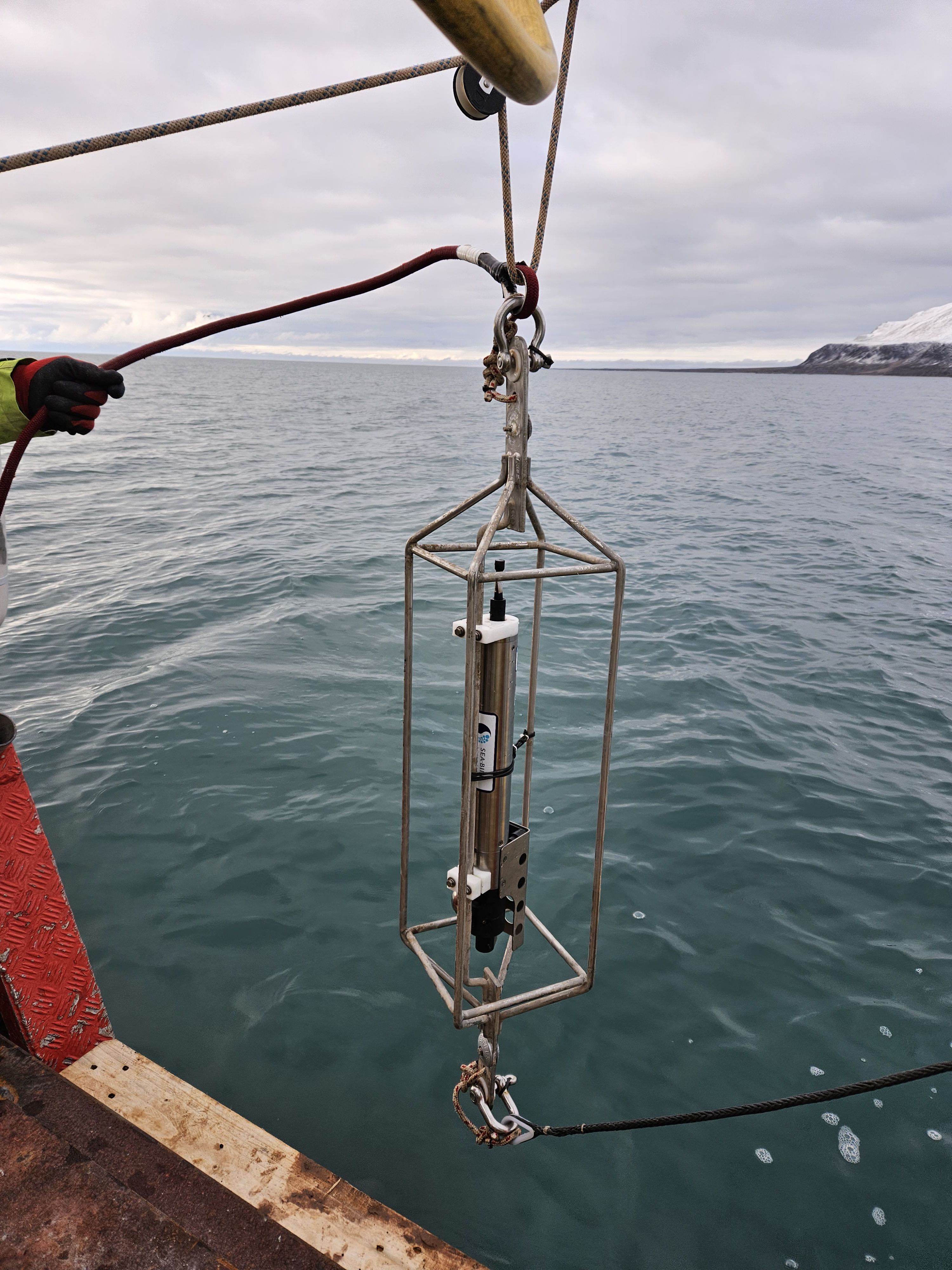 |
| GUID | 273db33e-608f-4467-9ba4-59405833f716 |
| licence | [] |
| metadata-date | 2025-05-12T14:24:56 |
| metadata-language | eng |
| point_of_contact 1 | Federico Giglio, federico.giglio@cnr.it |
| point_of_contact 2 | Francesco Paladini de Mendoza, francesco.paladinidemendoza@cnr.it |
| point_of_contact 3 | Leonardo Langone, leonardo.langone@cnr.it |
| point_of_contact 4 | Stefano Miserocchi, stefano.miserocchi@cnr.it |
| progress | onGoing |
| resource-type | dataset |
| responsible-party | [{"name": "Italian National Research Council - Institute of Polar Sciences", "roles": ["principalInvestigator", "pointOfContact"]}] |
| spatial | {"type": "Polygon", "coordinates": [[[11.71, 79.126], [11.72, 79.126], [11.72, 79.127], [11.71, 79.127], [11.71, 79.126]]]} |
| spatial_harvester | true |
| system:type | Dataset |
| temporal-extent-begin | 2022-09-10T00:00:00Z |
| temporal-extent-end | 2024-09-01T00:00:00Z |
| topic_category | oceans |
Management Info
| Field | Value |
|---|---|
| Author | Italian National Research Council - Institute of Polar Sciences |
| Maintainer | Geonetwork Harvester |
| Last Updated | 5 October 2025, 15:12 (CEST) |
| Created | 5 October 2025, 15:12 (CEST) |